
Satellite Selfie NT
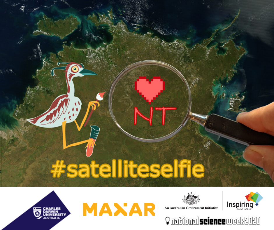
Create art that can be seen from space!
During Science Week 2020, a high-resolution satellite will be taking images of the NT. This satellite will be passing over different areas and communities.
Uses of satellites
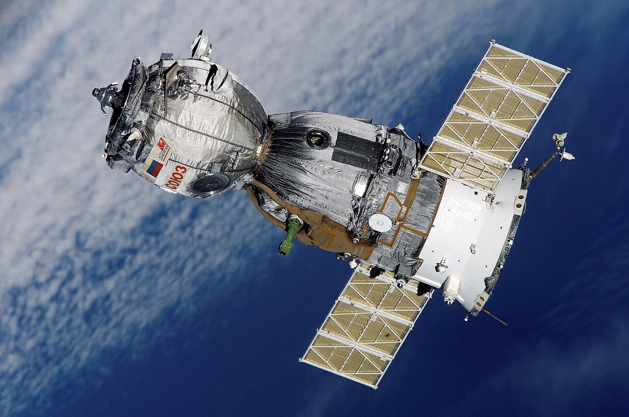
A satellite is an object that is circling the earth. There are many satellites in orbit around our planet, taking information and images from space.
These images have many uses. They can help us predict our weather or know how to act during a natural disaster.

For example, NAFI (North Australia and Rangelands Fire Information) maps the fire activity in Northern Australia based on information from satellites.
This is an example of a map from the NAFI website:
NAFI maps show recently burning fires in red. They help fire fighters and rangers to keep an eye out for new fires and plan their work. Anybody can access these maps; you can check the fires near you at any time on the NAFI website.

The Australian Bureau of Meteorology also uses satellite images to help predict the weather. This photo is from a NASA satellite, and shows two cyclones in northern Australia during the February 2020 wet season.
The Australian Bureau of Meteorology and NAFI are able to create new maps every day because there are satellites constantly circling the planet and taking photos and obtaining other information, such as land surface temperature.
Satellite photos
Just like the photos that you take on your phone, the resolution of a satellite photo is defined by the pixel size of the image. A pixel is the smallest point of the picture represented on the screen. If you look at a picture very closely you will see squares like these.
The size of these pixels determines the resolution of the image. The larger the pixel the fuzzier the image gets, the closer we look at them. Different satellites have different resolutions.

NAFI, for example, uses MODIS satellites, which have an on-ground pixel size of 250 metres. This means that an area of 250 by 250 metres will look like one giant coloured square in the image. This is not a problem when you are looking at a fire map of a very large area such as northern Australia. But you will not be able to see details such as buildings or cars.
This is a satellite image from MAXAR of the Darwin High School at a resolution of 50cm zoomed 500 metres above the ground.
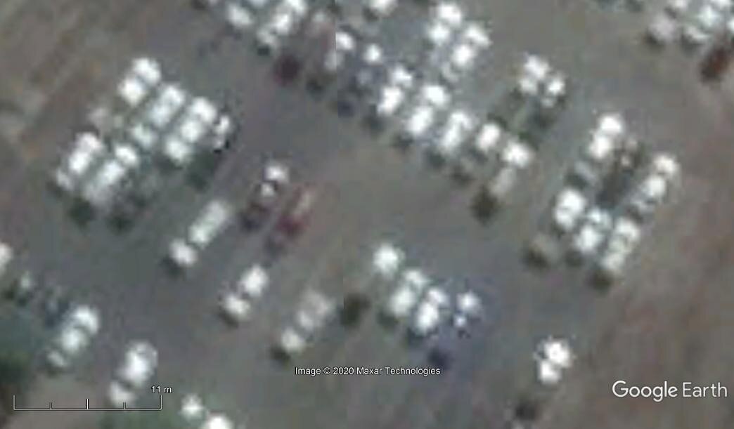
If you look at this image, you can clearly see the buildings. But once you try to distinguish smaller objects, such as cars and trees, from a distance of 100 metres above the ground, it becomes fuzzy.
A Satellite in Science Week
During Science Week 2020, a MAXAR high-resolution satellite will be taking images of certain areas of the NT. The ground pixel size of the photos this satellite will take is 50 centimetres. This means that each pixel of the image is represented by a 50 cm by 50 cm square in real life. In this case we recomend a 1 m by 1 m pixel, just to be on the safe side. This resolution is so high that if you stick eight pieces of A3 paper together you will be able to see it from the satellite image.
This satellite will be taking photos of the area around the following towns and comunities during Science Week in August 2020 (exact times to be define but it should be between 10:30am and 11:30am):
Monday 17 August - Satellite WorldView-2 - Locations: Darwin, Palmerston Pine Creek, Katherine, Jilkmingan and Mataranka, Barunga, Beswick, Manyallaluk, Batchelor, Adelaide River, Ramingining. To see exact areas - CLICK HERE
Monday 17 August - Satellite GeoEye-1 - Locations: Nhulunbuy, Alice Springs and Tennant Creek. To see exact areas - CLICK HERE
Tuesday 18 August - Location: Ngukurr. To see exact area - CLICK HERE
If you are in one of these areas you will be able to create your own art or message that can be seen from space! The exact time will be defined soon, and you can stay updated by checking our: Inspired NT webpage or Science Week NT Facebook Page.
Preparation for Science Week
Before the satellite takes the photos of your school and community you should get prepared. The satellite will only pass overhead once and only for a few minutes. Your artwork or message needs to be ready before it passes by or it won’t be in the photos! To prepare your message or artwork you should think about the size and resolution of your space image. Each dot in your final photo will be 1 m by 1 m in size in real life.
How big does our artwork need to be?
You could use eight pieces of A3 paper stuck together as one pixel. Another option is to buy larger paper sizes. However, if you are using paper or cloth, you might need to place some rocks on the top just in case the day is a bit windy. If you do not have paper or cloth, you could use any type of material, such as rocks, dirt, grass, etc. Reflective surfaces, such as metal, also work well. People with colourful clothes could also get together to create a pattern or a figure.
Remember that when you are deciding on the colour of the material your image will be made out of, you need to be mindful of the colour of the ground. Choose a colour that will provide a good contrast with the background and show up clearly. For example, if you are creating your artwork on a grassy area, you might want to avoid green materials.
CLICK HERE for some great examples on how to create Space Art.
A Simple Example of Artwork
Here is an example of a very simple message that would be able to see from space:
Sketch Artwork Result


This artwork uses yellow papers sheets with the dimensions of 1 m by 1 m. Once the satellite sends the image back to you, the final image will not look like the photo in the middle, but you will be able to see the smiley face drawing (similar to the image on the right). If you are outside when the satellite takes the photo, like the person in this photo, you will appear as a colourful group of pixels.
The last page of this manual has a grid for you to prepare your artwork or message by colouring each square as if it is a pixel. You can then place your artwork on an area of open space and wait for the satellite to take the photo.

This is an example on how to write letters and numbers using very few pixels:
Think about how you might create a message with these letters at your school! Your space artwork does not need to use squares or dots such as this example. As you can see below, artwork is not always made up of squares or dots.
Even if you are not using squares or dots, it does help to draw a 1 m by 1 m grid on the ground or have a 1 m by 1 m paper sheet with you, so you can have a better idea of the scale to make sure that your artwork is big enough.
You can also have more than one artwork to experiment with and see which one has the best effect once you receive the images back from the satellite.
You will have access to images covering all the area surrounding your community. Lots of space to work on! During Science Week 2020 (15 to 23 of August 2020), the NT will be a big canvas from space!
Access to images Once we receive the images back, you will be able to access them via a link on our Inspired NT Webpage and Science Week NT Facebook page.
Below, you can watch the video that Ryan Ridden has done specially for the NT and you will to learn a bit more about how satellites work and what they can be used for:

This National Science Week Event 2020 is sponsored by Charles Darwin University.
